- It’s what we do
- Aussie Ron Does New Zealand
- Our Island Home
- Yamaha Ténére 700
- Northwest Or Bust
- Two In One
- Help Me If You Can
- Why, Brother? There’s Nothin’ Much There
- Touratech Compañero World 2 Suit
- 8 Blokes. 9244km. 1 Great Ride
- An Interesting Week In The Andes
- Taming Hills with Miles Davis
- Sole man with Andy Strapz
- Holding Hands with Karen Ramsay
- Fit Out – Touratech Yamaha XTZ 700 Ténéré
- Checkout
Why, Brother? There’s Nothin’ Much There

Why, Brother? There’s Nothin’ Much There
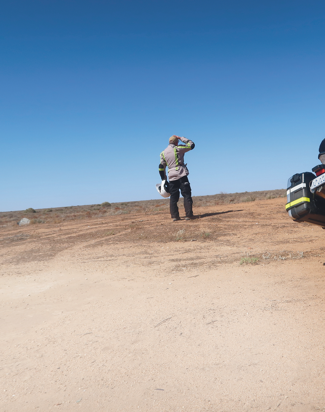
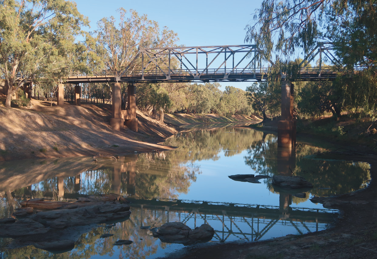
Heading upstream from Wentworth in southwestern NSW, leaving behind the confluence of the Murray and Darling rivers, the ride began with 100km or so of semi-arid outback landscape rich in eucalypt. Keeping The Darling close by led to Pooncarie village, approximate-ly midway between Wentworth and Menindee. There’s enough to see and enjoy in Pooncarie if time isn’t your enemy. The Old Wharf site with its café is a great place to stop and the pub hospitality is excellent.
Pushing on to Menindee, about 120km further north, the landscape scattered wide-open under a blue sky.
There’s nothin’ much there.”
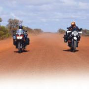
Nothing much, except tough-as-nails vegetation, red dirt and shifting sand.
The riding for the first section was relatively fuss-free, aside from losing, of all things, my helmet’s visor screws.

Why, Brother? There’s Nothin’ Much There
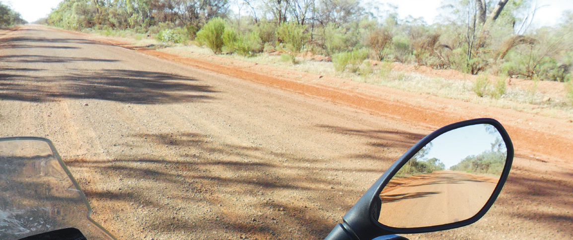

Following The Darling from Wentworth to Bourke, then down to Booligal.
Menindee to Wilcannia: 154km
Menindee established itself as the oldest European settlement in western New South Wales and the first town founded on the Darling River. The town also lays claim to being an advance base for Burke and Wills’ 1860 expedition. These days Menindee sits south of where the trans-continental railway line crossesthe Darling River and east of what are essentially four main, and empty, lakes named Wetherell, Pamamaroo, Menindee (the largest) and Cawndilla. Each is basically located on natural depressions and totally dependent upon the Darling River’s inflow.
Upstream, southern Queensland and most of New South Wales west of the Great Dividing Range represents a catchment area of around 574,200 square kilometres, flooding the lakes when it rains. Without the rain things aren’t just parched, they’re damned hot and dusty.
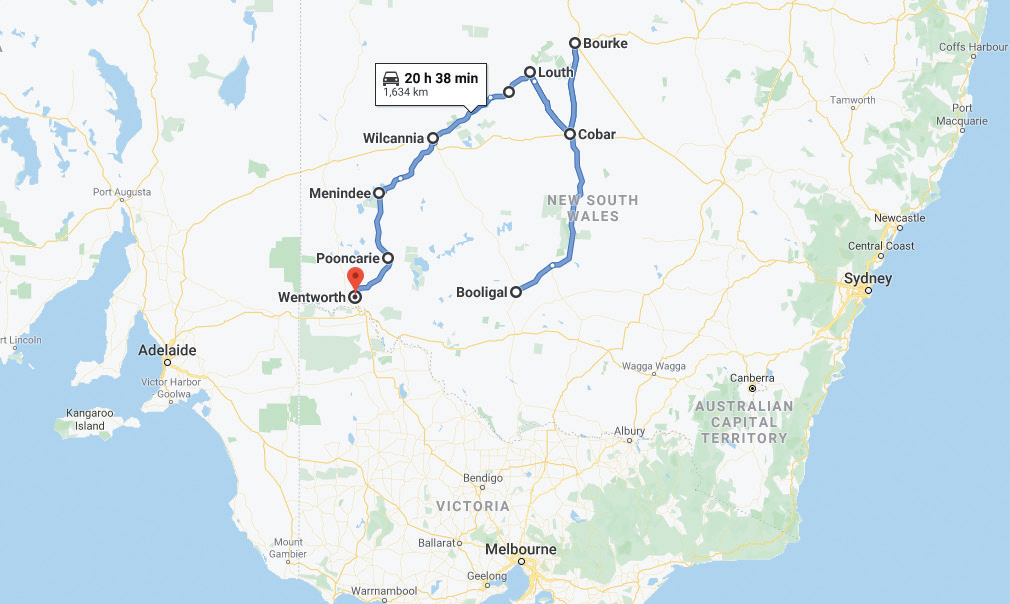
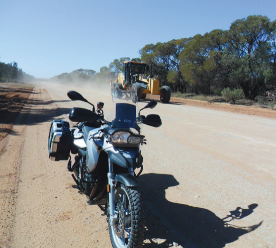
My passage away from Menindee took the western Menindee/Wilcannia Road, a run loaded with gravel and sandy sections that needed some concentration.
I wasn’t keen on finding out what I might have broken personally and/or mechanically if enthusiasm had over-taken my complete lack of talent, but nonetheless, once in the swing of things everything, thankfully, unfolded uneventfully – except for a couple of ‘could-have-been aerobatic’ moments.
These near misses prompted thoughts of the isolation surrounding a solo rider who fell victim to misfortune.

Wilcannia to Tilpa: 142km
Wilcannia, a name apparently derived from an Aboriginal expression for ‘gap in the bank where floodwaters escape’ or perhaps ‘wild dog’ – no-one’s exactly sure – was once Australia’s third-largest inland port. That was during the great riverboat era, and at that time the town enjoyed a population of more than 3000. There were also 13 hotels and a newspaper, The Western Grazier.
In recent times Wilcannia’s become little “ Leaving Tilpa meant more sand, coarse gravel and bulldust which, in the blink of an eye, could influence a rider’s destiny.” more than a dilapidated outpost offering basic services and supplies for the Central Darling Shire, but things appear to be slowly changing. There are some building works underway, and a couple of kilometres south along the Cobb Highway there’s a caravan and camping ground named Warrawong On The Darling that’s nothing short of top class.
A chance conversation with a steely, blue-eyed, single-toothed Wilcannia local provided invaluable departure advice: “Take your time, buddy. The way ahead to Tilpa is rough. The gravel is, like, bulldust-deep.”
The advice proved sound.
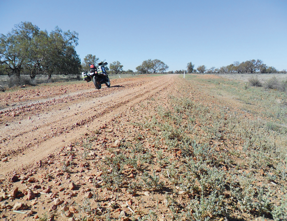

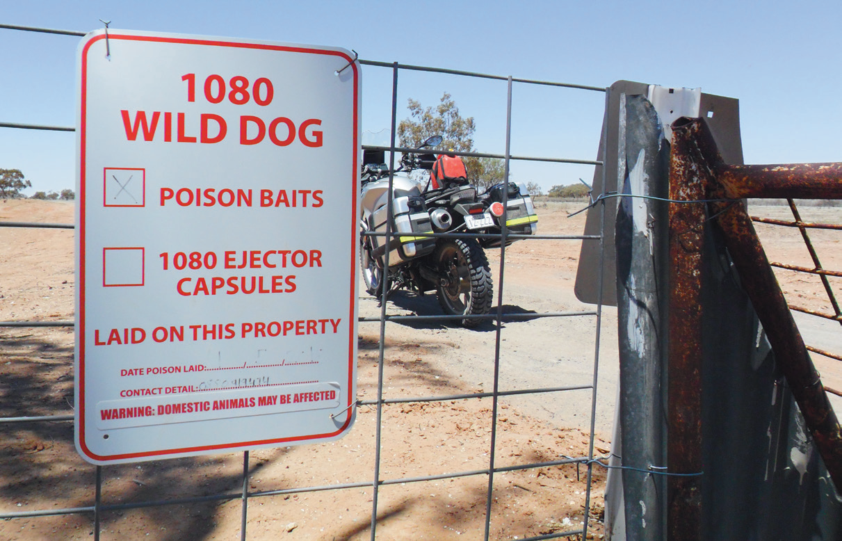

Amid a dramatic increase in lignum and black-box vegetation, noisy bird life, kangaroos, wild goats and grazing stock, the hazards came and kept coming with every kilometre.
Tilpa’s a small village on the western banks of the Darling River and a definite must-stop, whether to break the journey, camp alongside The Darling, or simply enjoy one or more of Tilpa pub’s coldest.
Tilpa, once a bustling port along The Darling, holds rich historical significance. While exploring, I stumbled upon Tilpa’s Boer War Memorial, paying homage to figures like Harry ‘The Breaker’ Morant. Later, I revisited the iconic outback pub, adorned with historical memorabilia, where I shared stories and enjoyed the classic atmosphere with locals and fellow travelers over cold drinks.


Tilpa to Louth: 92km
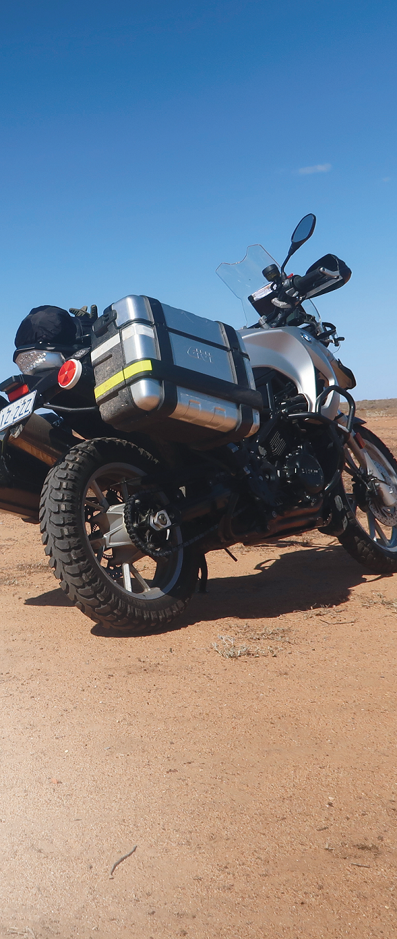
Leaving Tilpa meant more sand, coarse gravel and bulldust which, in the blink of an eye, could influence a rider’s destiny.
There were also more exposed, often broken, wire-reinforced drains and stock grids that had the potential to cause instant wheel and tyre damage if not approached with respect. The exposed stock-grid edges were the toughest. The dirt and gravel that would normally smooth the approach to the grids had become dust and been blown away, leaving a sharp, unforgiving edge of wheel-destroying concrete.
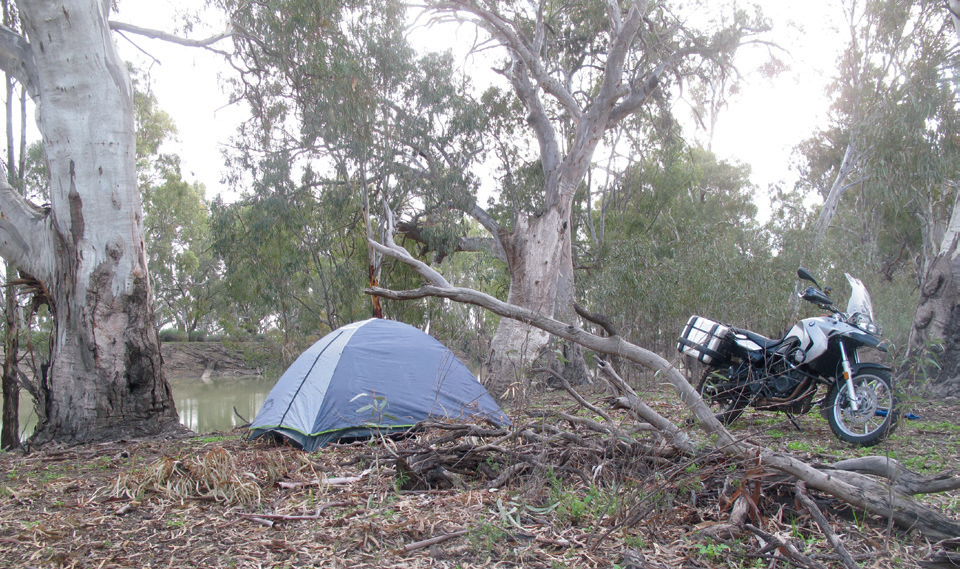
Finding a peaceful place to sleep wasn’t hard, whether it was under the stars or at a lesser-known pub. There was also the possibility of a station stay at Trilby Station, just short of Louth on the western side of The Darling. There were also some river-side camping options among giant gums.
The passage up to this point had served up more than an enough heavy gravel, bulldust and sharp-edged grids, all eager to catch out a weary rider. Fatigue had taken its toll on concentration and physical endurance and the appearance of Louth, on eastern side of the Darling River, was a relief.
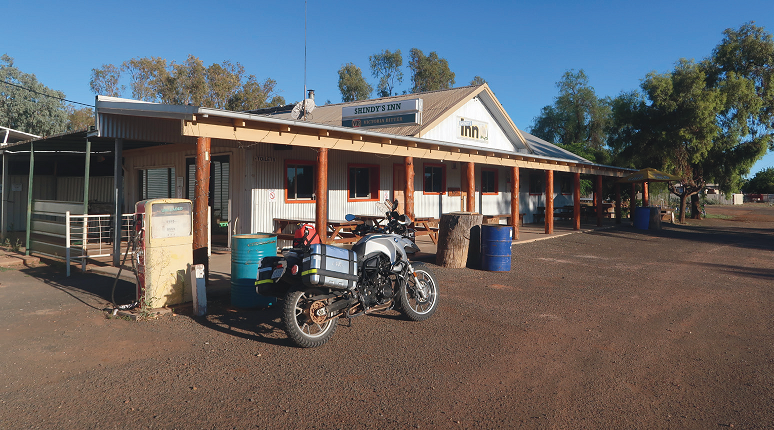
Sitting about 90km southwest of Bourke and 130km north-west of Cobar, the tiny town of Louth meant a whole lot more than just the cold beers that didn’t seem to relieve my parched insides. I was absolutely spent.
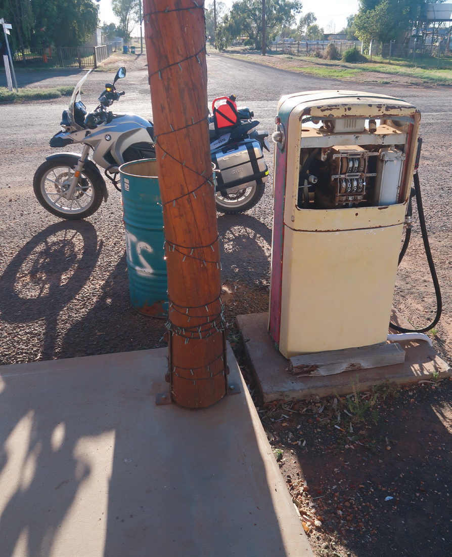
By the end of that day I was totally appreciative of the hospitality shown by Shindy’s Inn publican, Kathy Barnes. I was also somewhat relieved to learn many of the tracks I’d covered had claimed more than their fair share of weary, overloaded or too-eager riders, some breaking themselves and/or their bikes beyond further progress.
The place is famous for its annual, second-Saturday-in-August horse-racing carnival which starts ramping up the Wednesday before with a golf tournament, followed by a scone-and-damper cook off, school fete and Friday-night Calcutta which sees the village’s population surge from around 40 to upward of 5000 or more – a figure that must surely rank with numbers of sheep shorn in 1888 when the first mechanised shearing of sheep in the world took place at Sir Samuel McCaughey’s 404,685-hectare Dunlop Station. The property, just down river from Louth, at one time boasted a shearing shed with 45 shearing stands.

Bourke, then south 580km
After sleep and rehydration, Booligal’s Duke Of Edinburgh pub became my objective.
‘The Duke’ has a curious link to the country’s history. It was the Boolingal Hotel, but after burning to the ground in the late-1970s it was rebuilt as the Duke Of Edinburgh Hotel, and now claims ‘a certain, rough, outback charm’.
The walls are lined with photos of earlier pubs in the town.
I chose to dismiss what was a straightforward run. I wanted to passthrough Bourke, but rode via Gundabooka National Park then past Wuttagoona Station, enroute meeting Station owner Ken Cain and son Damian, before refuelling at Cobar. From Cobar my route went through Marooba Range, Rota and Lowlands west of Kidman Way’s tar, and then crossed The Lachlan, Australia’s fourth-longest river, to run southwesterly through Whealbah and wind up at The Duke moments before dusk.
All up it was some 580km from Bourke.

Thoughtful
As I sat at the bar I considered the journey.The outback’s most famous waterway is in poor shape. There’s a variety of reasons, the most significant being the sheer absence of rain, but a cocktail of changing governance, regulated and unregulated user demands and pollution from pesticide runoff have played their parts. And the reality is the Darling River’s extraordinarily irregular flow has seen it dry up on no fewer than 45 occasions between 1885 and 1960.
So the challenges for the Darling River’s future within massively changed agricultural and social views and opinions are, to say the very least, complex as much as they are emotive.
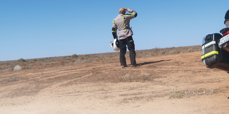
I decided after all my ride’s varied conversations with unknown locals who for moments became mates, red dirt tracks peppered with gutters and grids, huge amounts of bulldust and coarse gravel, through places of absolute beauty and quiet isolation, dodging meandering livestock, startled ’roos, emus and goats, below laughing galahs and circling Wedge-tailed eagles…all that ‘nothingness’ had morphed into an amazing adventure.

For more stories: https://advridermag.com.au/
Source: https://cdn.environment.sa.gov.au/environment/docs/murray-darling-basin-royal-commission-report.pdf






Comments