
- It’s what we do
- KTM Rallye NZ
- Charley Boorman
- Generation Next
- TomTom Rider 550
- Picnic Run
- Braidwood On Royal Enfields
- Trans-Labrador Highway
- BMW F750GS/ F850GS
- Zac Speed: Shaun MacKenzie
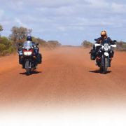
- The Arafura Track
- All Class
- West Of The Ridge
- X-com
- Following Dakar
- Wet Road with Andy Strapz
- A Couple Of Firsts with Karen Ramsay
- Checkout
- Fit out
If you arrive at Marrkalawa you’ve taken at least one wrong turn.
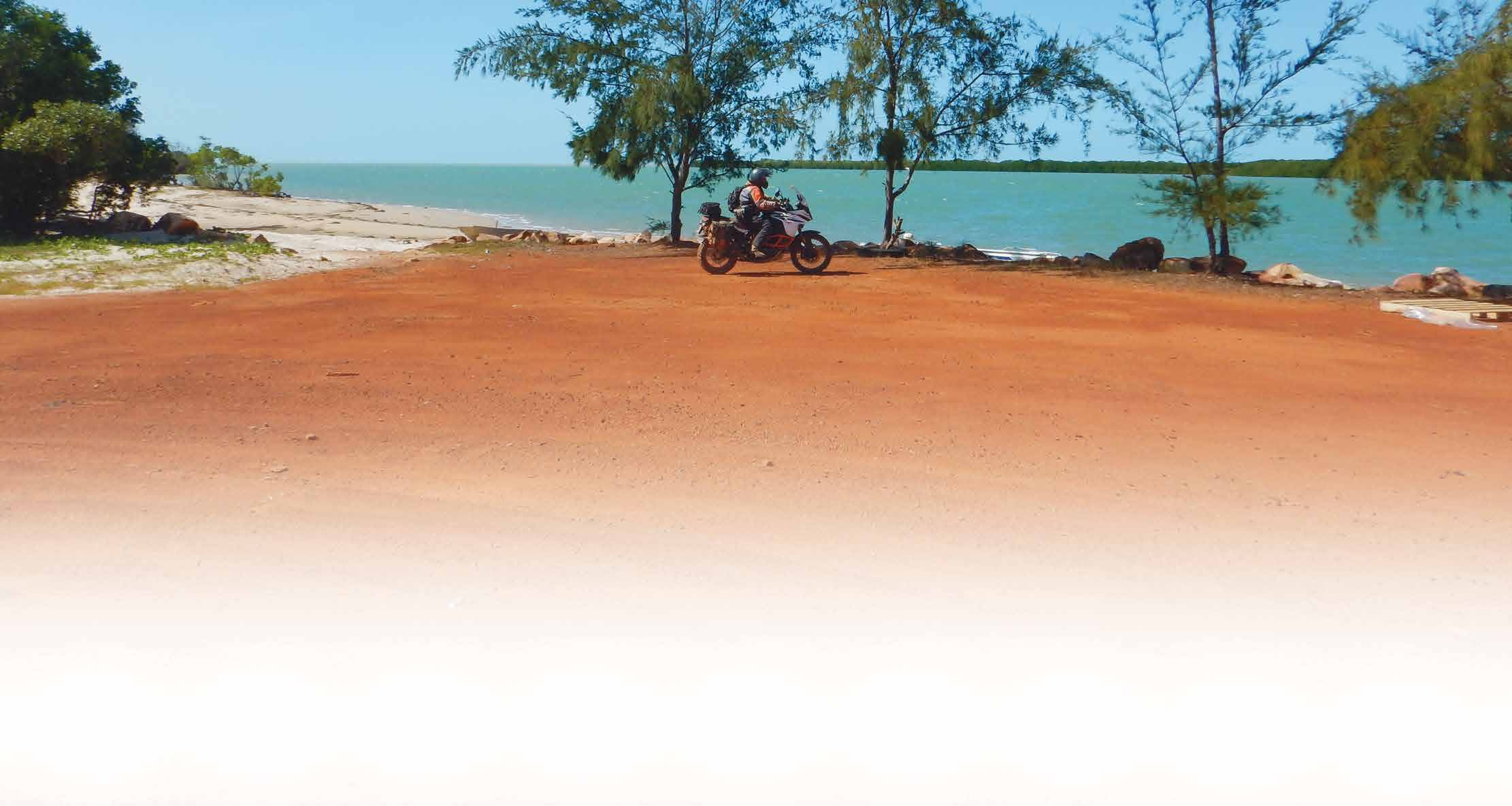
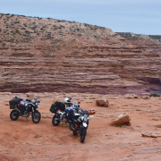
It required three generations of the one clan to secure our permits to traverse eastern Arnhem Land, a Northern Territory region so remote a wrong turn could land you in the camp of a bloke – carrying both a spear and a woomera – who would politely point out the deficiencies of SatNav and send you on your way. Such a confrontation only occurred the once, however once was enough to convince us to be better attuned to cultural sensitivities. It can take quite an effort to turn a fully laden KTM1190 around in deep sand – potentially far more time than the deployment of a woomera.
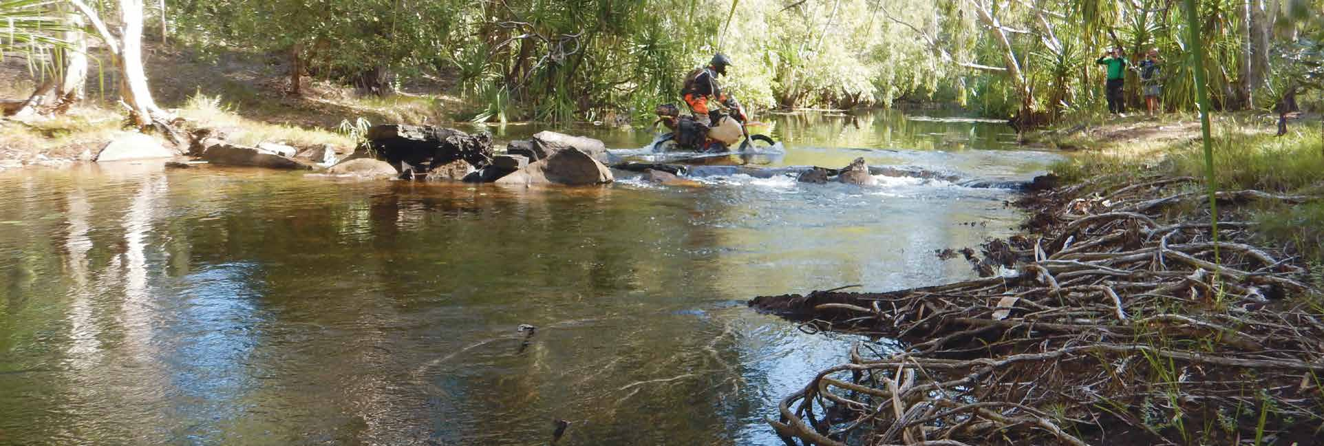
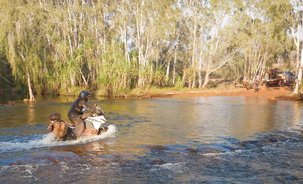 There are more than 20 watercourses to ford on the way to the notorious Cahill’s Crossing on the East Alligator River.
Banker
Fortunately there were clear skies and a blazing sun to indicate direction, though much of the savanna – a vast, sparsely treed plain, marginally below sea level – offered few perceptible landmarks. One termite mound is little different to any other.
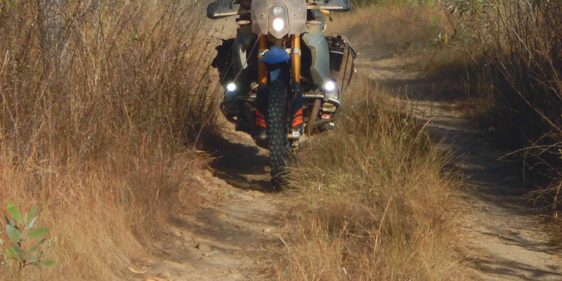
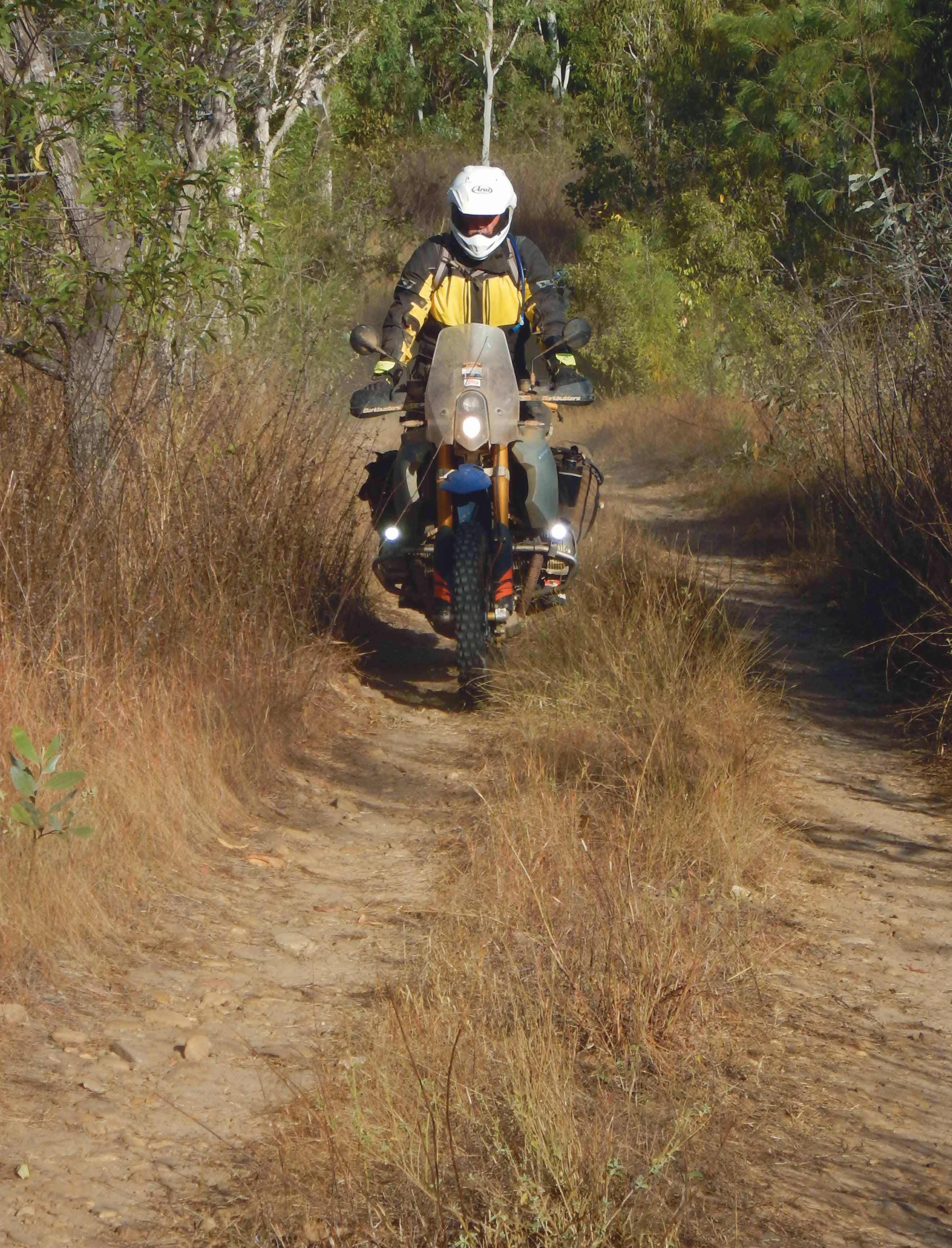
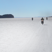
Lengthy sections of the ancient Arafura Track spend the annual ‘big wet’ under a metre of murky, slow-moving water, so it’s no surprise the way forward was hard to sight at anything more than walking pace.
Camping where there’s little chance any whitepella had ever camped before, we dined on road dust and cold buffalo sau-sages donated by an Outback Spirit tour group back near Roper Bar. They were very filling and stayed with us throughout the following day – the sausages that is, not the tour group.
 Shade can be at a premium.
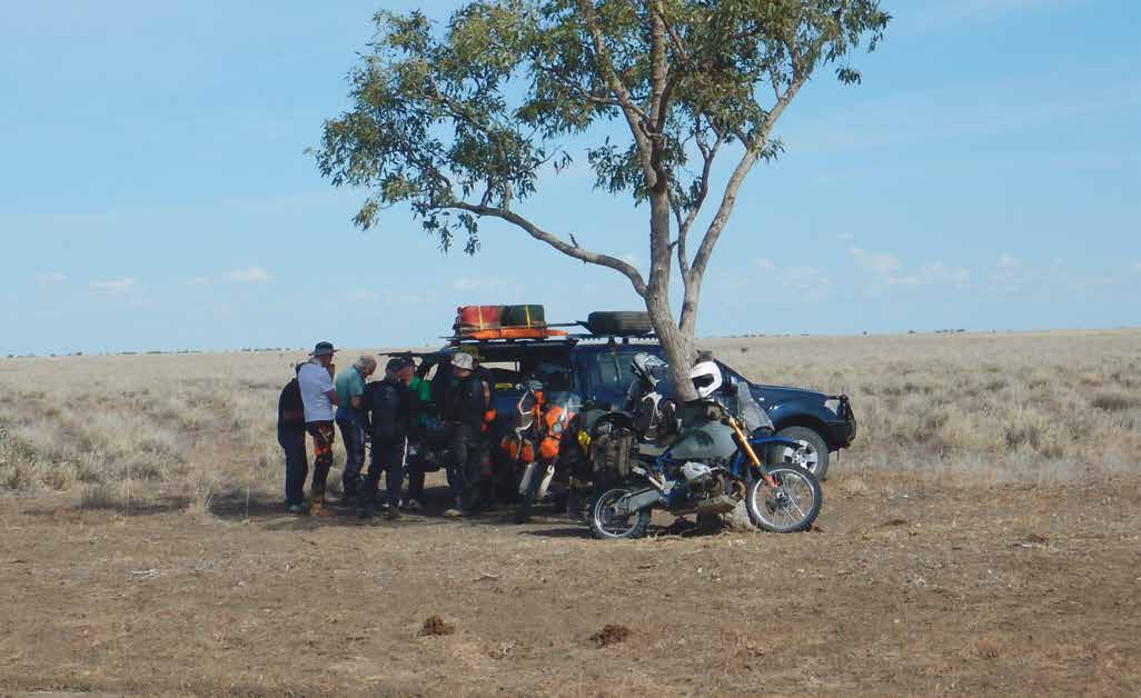
The Outback Spirit organisation has made the more remote regions of Australia accessible to senior citizens by means of a fleet of 4WD coaches, light aircraft and luxury cruisers and, at an average age of 71, our small group of riders may soon be forced to employ these methods of conveyance. But not if we can design a lightweight fold-up walking frame that will double as a luggage rack for Andy Strapz saddlebags.
As it was, flying over the region may have been easier, as both our GPS and paper maps displayed tracks that no longer existed.
We eventually found ourselves at a ‘long shaley slope’ we’d been told to look for, and this was followed by a deep river crossing which confirmed we were still on course. By the time we reached the Central Arnhem Road we were knackered and short of fuel. That situation dictated an economy run into Nhulunbuy on which Doc took an unnecessary detour into an erosion bank.
 The Arafura coastline proved a great fishing venue.
A good angle
Situated on the northeast tip of the Arnhem Peninsula, Nhulunbuy, formerly Gove, is the third-largest town in the Northern Territory. We quickly bypassed the titty bar and made for the motel pool-bar restaurant.
Come stumps Doc’s story of his hip and forearm scrapes told of a run in with a buffalo while being attacked by a pack of rabid dingoes. It was yet another chapter from his pantheon of political insights,past experiences and pure bullshit.
Nhulunbuy also marked the mid-point on our odyssey through Arnhem Land – though we’d ridden almost 4000km to get there – and had the facilities to service the bikes, as well as refuel at over $2.00 per litre. The Arafura coastline also proved a great fishing venue which, together with the local bakery, provided fresh fish sangers for lunch out on the road the next day.
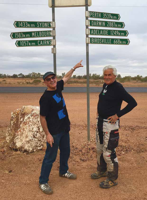 Gavin Morisset, left, and author Peter Whitaker at Eromanga, midway between the Gold Coast and Darwin.
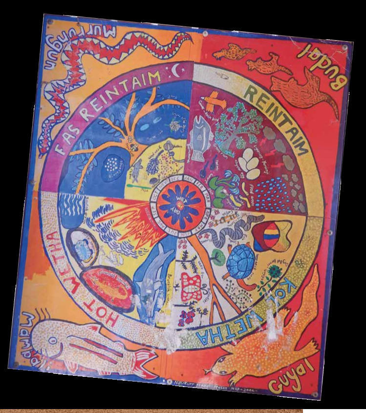 An indigenous representation of Arnhem Land’s four seasons: torrential rain; more rain; hot; cold.
Saltie battery
Though you may have to fudge a little at the mention of motorcycles, permits are readily available to traverse the Central Arnhem Road. On that road it’s possible to sit on the NT speed limit all the way east of the Stuart Highway, though it’s probable you won’t wish to take the risk of broadsiding a dingo or kangaroo, or even less a buffalo. All these forms of wildlife, including domestic cattle, can be encountered on the northern road. But the biggest danger is saltwater crocodiles, numbers of which have increased exponentially since they became a protected species back in the mid-1970s. Now they’re said to inhabit every puddle of water above 12° latitude.
 No one was prepared to be first to walk the crossings.
With more than 20 watercourses to ford between us and the notorious Cahill’s Crossing on the East Alligator River – which can only be traversed safely at low tide – we were keen not to tarry, however no one was prepared to be first to walk the crossings, so the support vehicle took point. Most were barely hub height with only the last at 700mm where we made enough of a bow wave to drown any adventurous salties. Only two days prior to our crossing the East Alligator a 4WD had been washed off the causeway, its occupants being rescued while the crocs were kept at bay by shotgun-toting police.
With barely 200mm over the causeway our crossing caused no such spectacle, though we did sight a number of salties from a safe and very speedy position; and it wasn’t long before we were safely inside the Mercure Crocodile Hotel in Jabiru, tall frosty glass in hand.
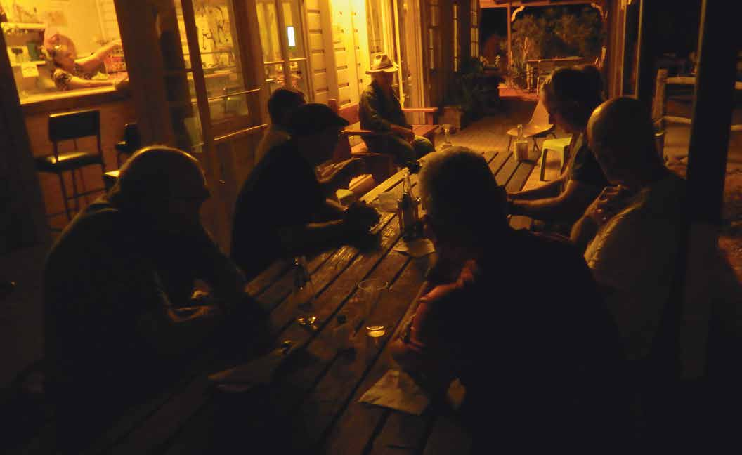 Middleton Hotel. A pub balcony aces a campfire every time.
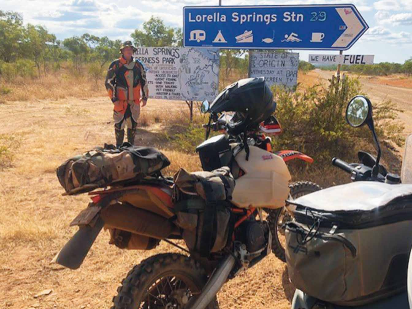 Lorella Springs isn’t in Arnhem Land, but it’s the last stop in whitepella territory.


Comments